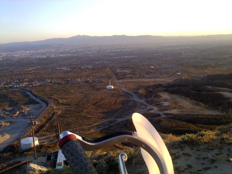
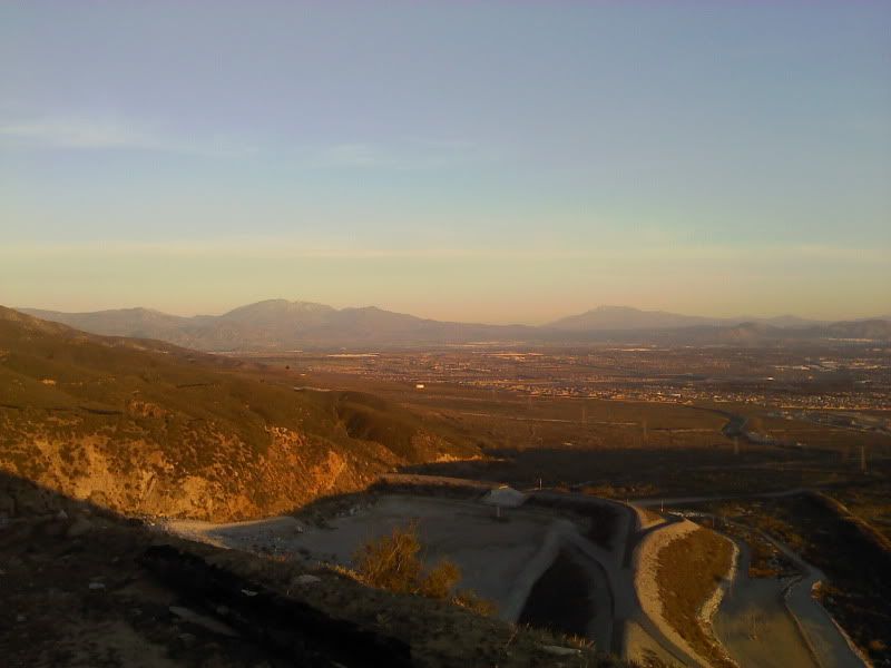
Great shots for a phone. Yep Santiago Peak or Saddle Back mountain and looking at Corona, and yes San Jacinto peak, But I think its San Gorgerino peak not Big Bear on the left.
There both covered in snow after last weeks rain.
For those that don't know, I-10 runs between them and Palm Springs is to the right on the other side of San Jacinto.
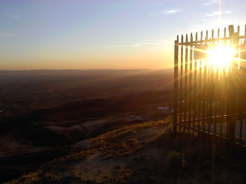
Hmm.... me thinks a secert ride spot? that may not be so legal.